Master's Thesis, Tampere University (Finland), 2026
Abstract
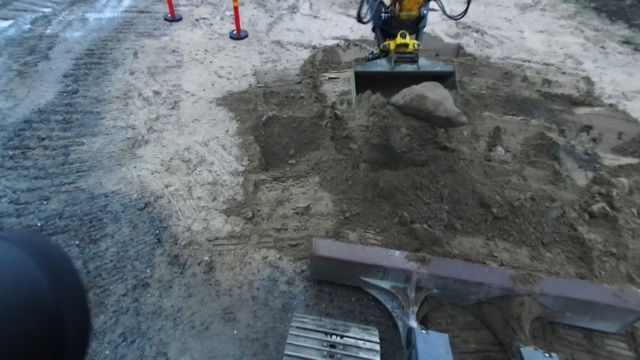
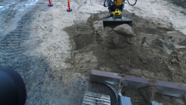
For the rock-picking task of a real excavator, this work presents an evaluation of a rock 3D position estimation pipeline using 3D sensors. The proposed solution is based on sensor-fusion between camera and LiDAR sensors, and utilizes a 2D binary mask from an object segmentation model to filter the 3D point cloud. Two different segmentation models are evaluated for this purpose: SAM 2 and a finetuned YOLO26. The evaluation is performed on two different computer systems. The proposed 3D position estimate is compared against a ground truth 3D position representation obtained from the FoundationPose model. Based on the findings, the proposed solution yields a median 3D position estimate approximately 0.20–0.30 m from the ground truth position.
Experiments & Results
Qualitative overview of the SAM 2 (top) and YOLO26 (bottom) segmentation models over 3 experiments. The model input RGB images are on the left, whereas the output binary masks are in the middle. The images on the right show the mask contours overlaid on the RGB images.
Ground truth (dashed line) and estimated (solid line) 3D positions in the base coordinate frame.X-axis in red, Y-axis in green and Z-axis in blue.
Acknowledgements
The thesis work has been completed in the Autonomous Mobile Machines Group , at Tampere University. The thesis work has been funded by the Horizon Europe Project XSCAVE under Grant 101189836. Thanks to Novatron Oy for providing access to the excavator and the data interface.
Citation
@mastersthesis{hakamaki2026,
author = {Saku Hakamäki},
title = {Evaluating Rock Position Estimation Pipeline Using 3D Sensors for Excavation Task},
school = {Tampere University},
year = {2026},
url = {https://urn.fi/URN:NBN:fi:tuni-202604274316},
}